 |
|
  
 |
||||
| GPS Location: |
|
| GPS Coordinate: | 38.213653333333,-111.15704666667 |
| Date Taken: | Friday, October 16th, 2015 - 03:05:24 PM |
| Filename: | IMG_7207.jpg |
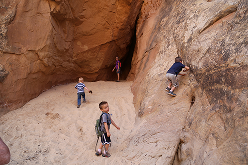
| Category: | 2015 Fall Break - Day 2 - Capitol Reef National Park (Grand Wash Narrows, Capitol Gorge (Petroglyphs, Narrows, Pioneer Register), Waterpocket Fold Drive (Notom-Bullfrog Road, Burr Trail Road), Hell's Backbone Grill (Boulder, Utah)) |
54021
